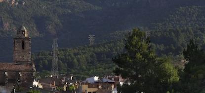


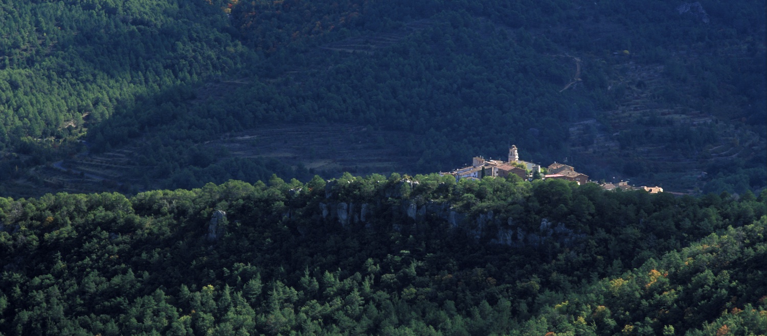
The River Brugent is one of the main arteries of the Prades Mountains, together with the Siurana and the Glorieta. It is a river that makes itself heard and its force once drove the wheels of about thirty water mills. The village of Capafonts, lying near the source of the river, is surrounded by the impressive ranges that form its headwaters, crowned by La Baltasana hill, the summit of the Prades Mountains, where the only community of Pyrenean oaks in Catalonia can be found. It is a walk for enjoying the river and its headwaters, climbing up it to the highest point in its basin.
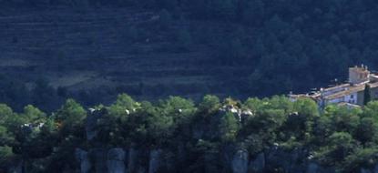
Leave the village of Capafonts, heading towards the Vell bridge, where you will find Més Amunt mill. Follow the river and then take a path off to the left, leading you to Barrulles chapel. From there, look for the path heading for Mas de Gravat, which used to be surrounded by crops and where you can still see a stone lined water tank. Carry on upwards until you find the ridge path, marked as a long-distance path (GR) leading to La Baltasana hill. Descend from there taking the long-distance path towards Prades. Leave the town heading south towards the Abellera chapel, imitating the red rock that shelters it. From there, go down the path that passes the meagre Abellera spring and then pick up the wide track that leads you back to Capafonts.
Time: 6:00 h.
Difficulty: Medium
Suitable for families: Not
Btt: Not
Circular route: Not
Municipalities:
Total distance: 17.5 km
Ascent: 600 m
The network of paths of El Baix Camp allows you to discover our region at a leisurely pace, enjoying the landscape, its villages and its people.